Take your business to the next level with Hasepl Business agency for business Idea management tools for you

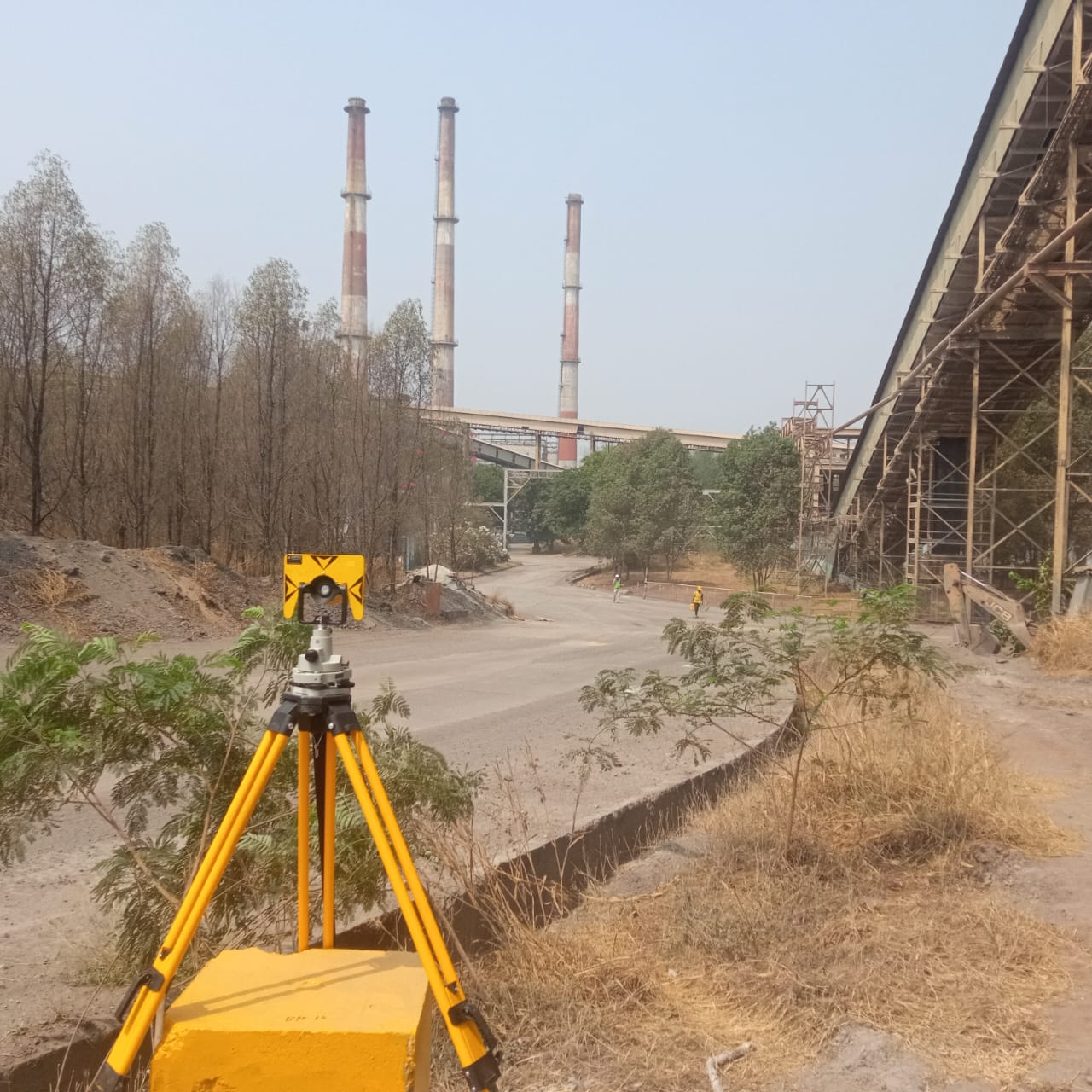
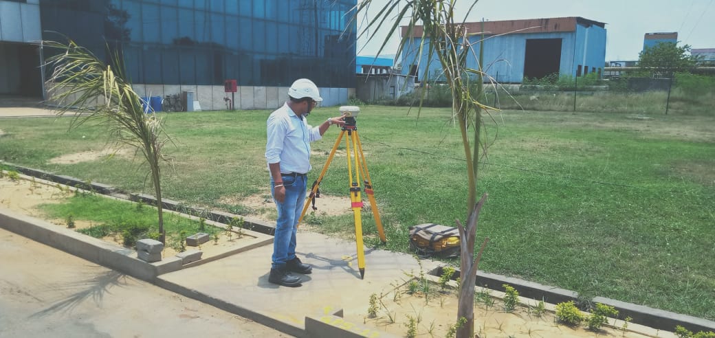
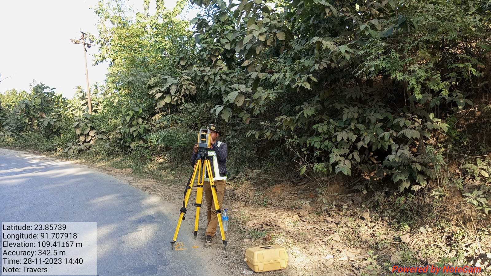
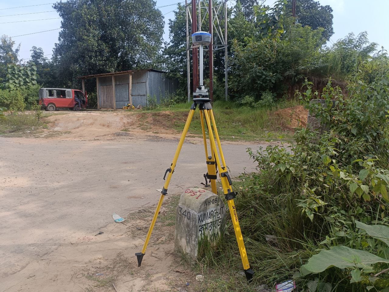
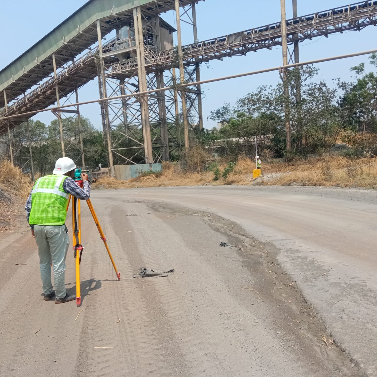
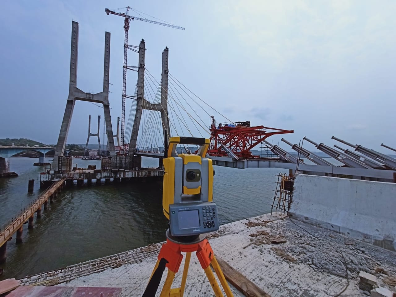
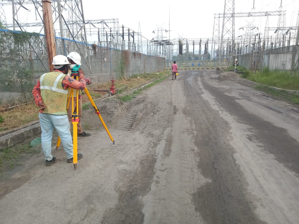
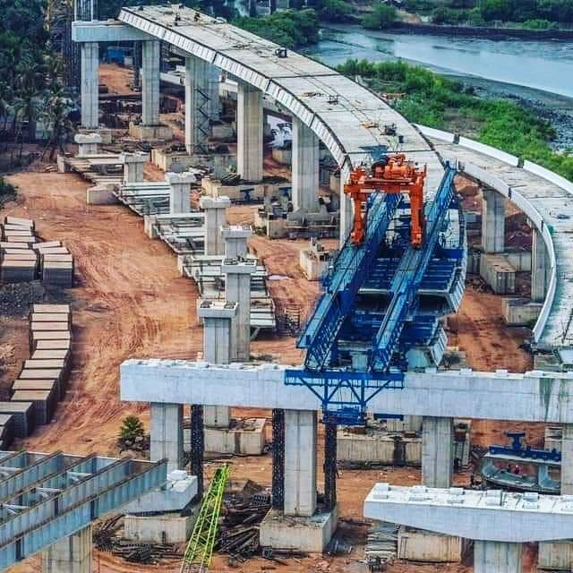
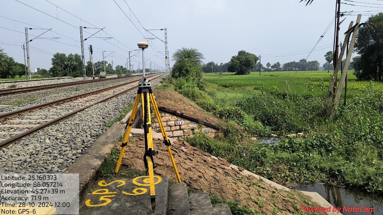
We are a multidisciplinary survey engineering consulting company. We started ourselves as a leading consulting group in India in various survey engineering projects additions like, Topographical Survey, Engineering Survey, Flyover, Bridge & Metro Survey etc.
HA Survey Engineering Pvt Ltd is the new one of this field but the employees are professional, skilled and have good experience in various fields like Topographical Survey, Highway Survey with construction, Segmental elevated and cable stay bridge project and Hydrograph survey.
To achieve and sustain a leading position in services of Topographical Survey, Engineering Survey, Flyover, Bridge & Metro Survey as per National and International Standards ensuring expectations of the customers with continual improvement of the effectiveness of the Quality Management System.
HA Survey Engineering Pvt Ltd is committed to fully satisfying its customers by providing them with surveying, engineering and technological solutions in the field of Topographical Survey, Engineering Survey, Flyover, Bridge & Metro Survey and Contour Surveys. We strive to achieve the topmost quality in our work with continuous improvement in all activities by using the latest surveying technology and effectively implementing our management systems.


We are an architecture firm with a focus on beautiful but functional design. At its heart, we believe design is about usability and these are the guiding principles for our work. Read our projects and process.