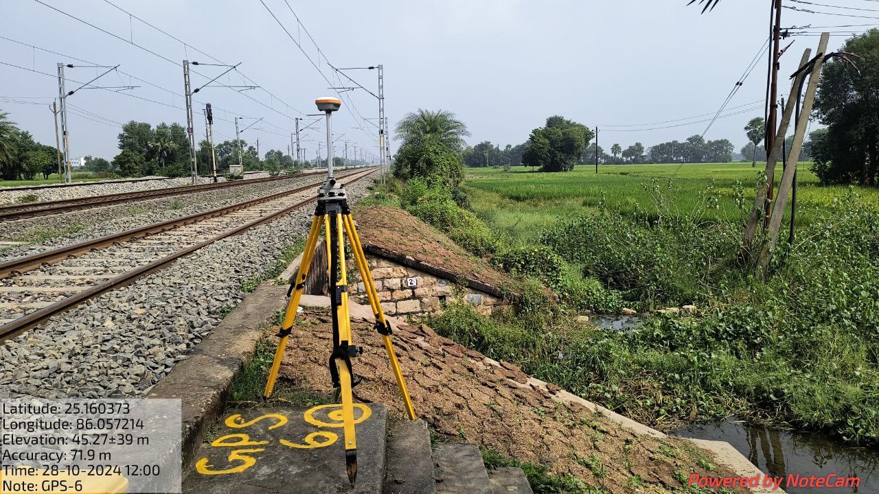
Topographical Survey and Contour Survey with DGPS, GPS & modern Total Stations
Cadastral, Engineering Survey and Land Demarcation.
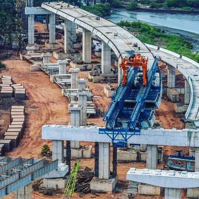
Route alignment for roads, bridges, pipelines, power lines etc.
Leveling by Digital Level & Auto Level instruments.
Profiling, Contouring, Leveling, Curve setting, etc.
Calculation of cut-fill volumes with the help of advanced software’s like Road Estimator, Auto Plotter, E-survey, Kubla Cubed, Surfer and Terramode etc.
Hydrographic Survey through Total Station, Current meter, Echo-sounder etc.
Creating Engineering drawings, Topographical Maps, Long Section & Cross Section Drawing with the help of advanced software’s like AutoCAD, AutoCAD Civil 3D,Auto Plotter etc
Digitization of old revenue maps and cadastral maps. 12. Preparation of Detailed survey Report.
As built survey for developed city regions.
Quantity survey after construction.
Digital Terrain Modeling of the topographical maps.